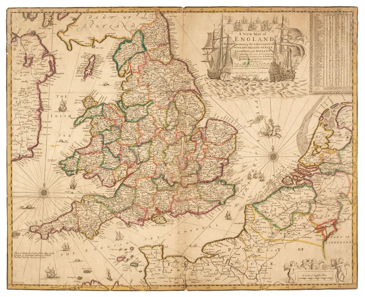
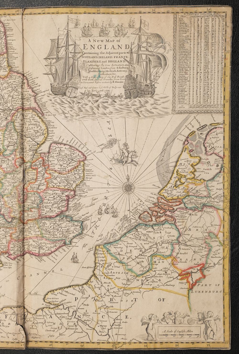
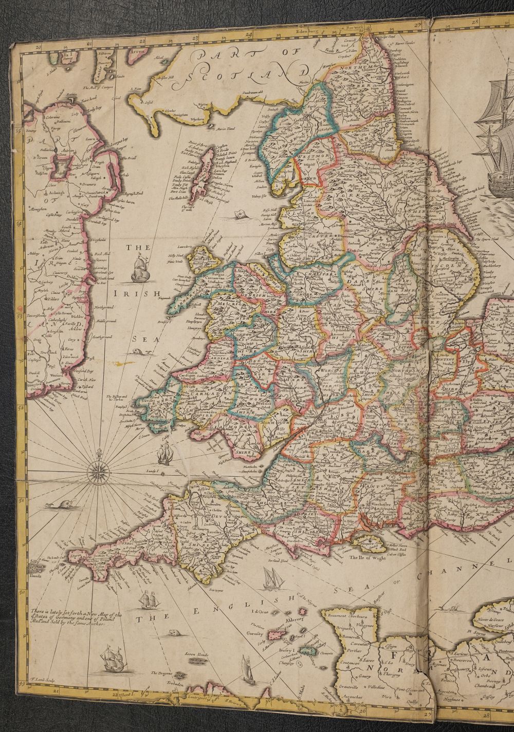

England & Wales. Greene (Robert & Morden Robert), A New Map of England..., circa 1690
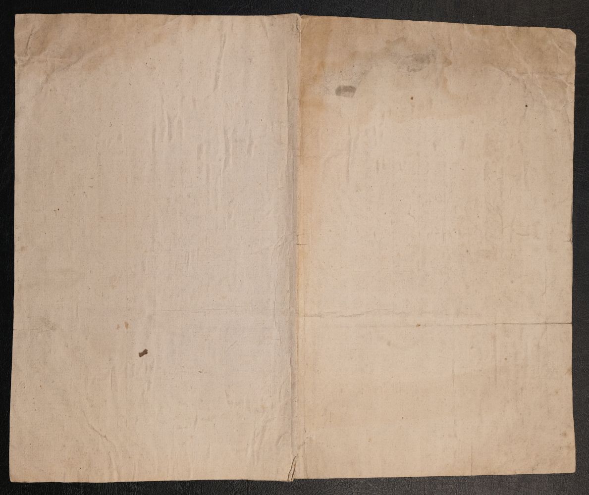
England & Wales. Greene (Robert & Morden Robert), A New Map of England Containing the Adjacent parts of Scotland, Ireland, France, Flanders and Holland. Shewing the true Situation and Distance of London from Edinburgh, Dublin, Paris, Mastrick, Antwarp (sic), Amsterdam &c..., circa 1690, map engraved by F. Lamb with contemporary outline colouring. old folds, trimmed to the neatline, some creasing and staining, slight marginal fraying and short closed tears, slight fraying and a short split at the foot of the central fold, laid on near-contemporary paper, 445 x 545 mm QTY: (1) NOTE: R. W. Shirley. Printed Maps of the British Isles, Morden 1 state 3. A rare map which carries Greene's imprint only. The earlier states (first published in 1673 and again in 1675) have the imprint of Morden and Greene. This last state was probably published after Greene's death (1688) by his daughter Elizabeth. COPAC list only two institutional holdings in the National Library of Wales and the British Library.
- The cost is converted to USD at the rate of 1 GBP = 1.26435 USD on 2023-06-14.
-
Sign in to view
Lot number
-
Sign in to view
Estimate
-
2023-06-14
Sale date
-
Sign in to view
Realised price
-
Sign in to view
Opening price
-
Sign in to view
House name
-
Sign in to view
Auction sale name
-
Sign in to view
Country
-
Categories
Sign in to view -
Tags
Sign in to view